

FEMA Damage Assessment Training
FEMA is currently updating the FEMA Damage Assessment Training and Account Access Procedures.
Access to the training is paused until FEMA has completed these actions.
We apologize for the inconvenience and delay.
If you'd like to become part of the Geospatial Team and get additional notifications on when the training will be available, please sign up at the following link: https://forms.gle/Nvoqi2bprcGPvsGX8
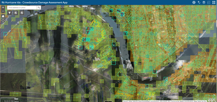
Imagery Provided by: GIC/Vexel
All CAP members, cadets and seniors, do you want to be involved in a disaster response, regardless of where you live in the world? Have you always wanted to serve during a mission, but felt you don’t get the opportunity because there are no disasters where you live, you don’t fly, or you’re not a member of a specialized team?
Times are changing. Did you see the recent article on Harnessing Technology in the spring edition of Volunteer magazine? https://www.cap.news/civil-air-patrol/volunteer-magazine/
If you’re interested in supporting FEMA conduct imagery-based damage assessments, you now have the opportunity. On behalf of the CAP Geospatial Program, all CAP members, including our international squadrons are eligible to apply and help.
You must complete the training to be eligible. If completed, you will be on call to support a disaster response (hurricane, fires, tornadoes, floods, etc.), again regardless of where you live.
If you have issues or don’t receive an email after the first day, please have send an email to the help email, fema_dmg_assmnts@cap.gov.
The training involves 4 modules and should take between 2-6 hrs to complete. Beyond the basic lessons/quizzes, you will need to conduct practice assessments and be graded against them using the actual tool.
Once you complete the first three modules, it may take time for the automated email giving you access to the fourth damage assessment module to be sent. When you complete the assessments, and select the grids as completed, a final completion email will be sent if you pass.
For additional training sign up to join the CAP Geospatial Community of Interest (COI), on the National homepage; https://www.gocivilairpatrol.com/programs/emergency-services/cap-geographic-information-systems-gis. You will be added to the COI and can ask questions in the FEMA Damage Assessment Training channel and can collaborate with your peers. It will also be where all major disaster damage responses will be conducted from.
Please consider signing up to serve!